Watershed Assessment
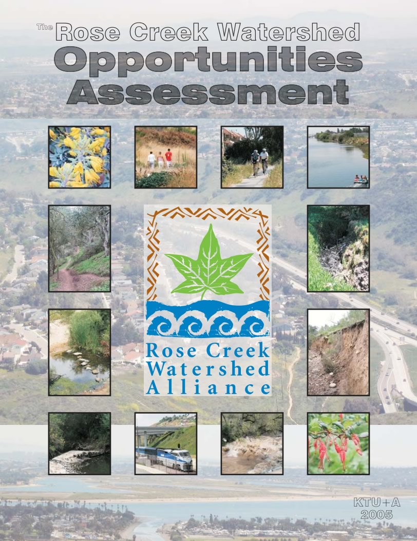 The development of the Rose Creek Watershed Opportunities Assessment followed a three step process. The process began in 2004 with the review of existing conditions. This was conducted by analyzing the creek’s water quality, conducted field surveys of wildlife habitat, reviewing previous biological studies, and analyzing the presence of exotic invasive plants. In addition, recreation specialists analyzed public access points and an archaeological survey assessed the significance and sensitivity of cultural resources. Public safety issues such as fire prevention, landslides, and crime were also reviewed. The results were included in the Existing Conditions Report.
The project team then presented the Existing Conditions Report to the public through a series of workshops. The used the report and the public comments and recommendations to develop the draft Rose Creek Watershed Opportunities Assessment. The Rose Creek Watershed Alliance also developed a list of goals, which were addressed in the Assessment. The final result is a list of recommendations of actions that can be taken to protect and enhance the watershed for the benefit of current and future visitors.
The report was prepared by KTU+A , in association with Merkel & Associates , Susan Hector Consulting and the San Diego Natural History Museum . The San Diego City Council accepted the plan on October 21, 2008. Since then, members of the Alliance have been working together working together to identify sources of funds to carry out the various recommendations of the Assessment.
View a summary of the Assessment:
Rose Creek Watershed Opportunities Assessment At A Glance
Reports
Rose Creek Watershed Opportunities Assessment
(revised 11/30/05)
- Cover (564 KB)
- Inside Cover (24 KB)
- Executive Summary (52 KB)
- Table of Contents (59 KB)
- Chapter 1 (333 KB)
- Chapter 2 (11 MB)
- Chapter 3 (17.04 MB)
- Chapter 4 (27.7 MB)
- Appendix A (26 KB)
- References (32 KB)
Reading the Rose Creek Watershed Opportunities Assessment
Chapter 1 provides an overview of the project and the Rose Creek Watershed Alliance’s vision for the watershed. It also summarizes some key elements Alliance members identified while striving to achieve the vision of an integrated approach to watershed preservation and enhancement. These elements were linked to a variety of next steps to move the planning process from issue identification, through development of solutions, and on to implementation. The combination of the vision points, key elements to consider, and next steps provided the foundation on which the action recommendations in Chapter 2 were developed.
Chapter 2 is the heart and soul of the Assessment as it discusses all of the actions being recommended for implementation. The chapter is organized into six sections: Proactive Conservation; Biological Resources; Cultural Resources; Public Safety; Recreational Resources; and Water Resources. The actions are designed to be used alone or in combination to systematically improve the use and function of the watershed’s resources. An “adaptive” approach is recommended that will allow for mid-course corrections, as needed, as recommendations are implemented.
Chapter 3 provides an overview of the Existing Conditions report and Technical Memoranda, serving as background information in support of the action recommendations. The information provided is intended to act as a bridge between the brief summaries provided with the action recommendations in Chapter 2 and the full versions of the reports.
Chapter 4 provides supplemental information on several of the actions described in Chapter 2. Information includes more detailed descriptions on recommendations such as potential restoration sites, new trail segments, stream channel restoration techniques, and concrete flood control channel restoration.
Existing Conditions Report
- Full Existing Conditions Report (2.44 MB)
- Report by Sections
- Executive Summary (30 KB)
- Section 1 Introduction and Overview (43 KB)
- Section 2 Political Districts (646 KB)
- Section 3 Land Uses and Planning (70 KB)
- Section 4 Physical Characteristics (58 KB)
- Section 5 Biological Resources (89 KB)
- Fig. 5-1 MSCP Biological Core & Linkage Areas (2.2 MB)
- Fig. 5-2 MSCP Multiple Habitat Planning Areas (858 KB)
- Fig. 5-3 MCAS Miramar INRMP Management Areas (630 KB)
- Fig. 5-4 Vegetation Communities (899 KB)
- Table 5-4 Special Status Species and Potential for Occurrence (233KB)
- Fig. 5-5 Sensitive Species (957 KB)
- Fig. 5-6 Mitigation Sites (2.23 MB)
- Section 6 Water Resources (29 KB)
- Section 7 Utilities (59 KB)
- Section 8 Water Quality (32 KB)
- Section 9 Cultural Resources (1.38 MB)
- Section 10 Recreational Resources (243 KB)
- Section 11 Informational Resources and Current Activities (56 KB)
- Section 12 Next Steps (31 KB)
- Section 13 References (33 KB)
Existing Conditions Technical Assessment
Water Quality Monitoring Reports
- Water Quality Monitoring in the Rose Creek Watershed, December 31, 2004
and detailed monitoring results (in an Excel spreadsheet) - Water Quality Monitoring in the Rose Creek Watershed, September 30, 2004
- Water Quality Monitoring in the Rose Creek Watershed, June 30, 2004
- Water Quality Monitoring in the Rose Creek Watershed, March 28, 2005
- Water Quality Monitoring in the Rose Creek Watershed, June 30, 2005
- Water Quality Monitoring in the Rose Creek Watershed, September 30, 2005
- Water Quality Monitoring in the Rose Creek Watershed, December 31, 2005
and detailed monitoring results (in an Excel spreadsheet) - Water Quality Monitoring in the Rose Creek Watershed, March 28, 2006
and detailed monitoring results (in an Excel spreadsheet)